News
Ice Warnings Widen as the UK Battles Deep Freeze and Heavy Snow
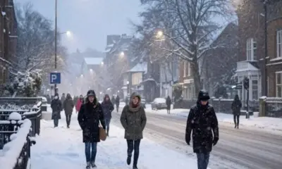
Large parts of the United Kingdom are preparing for worsening icy conditions as a powerful cold snap tightens its grip. After a day of widespread snow that forced hundreds of schools to close and left major roads blocked, forecasters say temperatures will plunge even further overnight, bringing dangerous ice across much of the country.
The Met Office has issued several yellow warnings for ice stretching across north east Scotland, western Wales, south west England and large parts of England’s east coast, including East Lothian and the Scottish Borders. These alerts add to existing snow and ice warnings already in place for some regions.
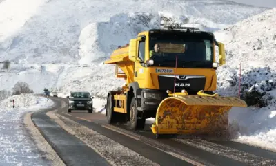
The most severe conditions are expected in the North York Moors and parts of the Yorkshire Wolds, where an amber warning remains active. These areas could see between fifteen and twenty five centimetres of snow, raising concerns about travel disruption, power issues and stranded vehicles.
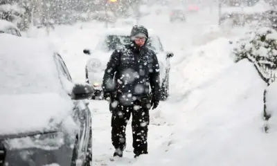
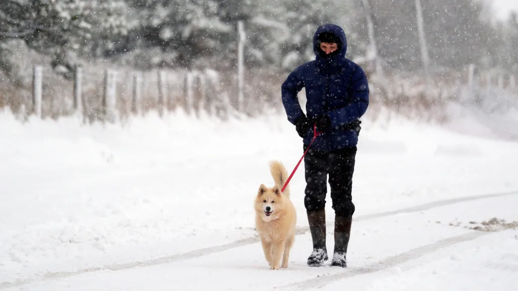
Thursday night is forecast to be the coldest of the week. Temperatures will drop well below freezing in many areas, falling as low as minus twelve degrees in rural Scotland. The UK Health Security Agency has issued cold health alerts for England through Saturday, warning that the extreme temperatures could pose serious risks to older adults and people with underlying health conditions.
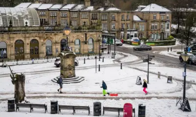
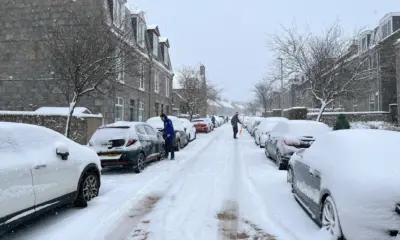
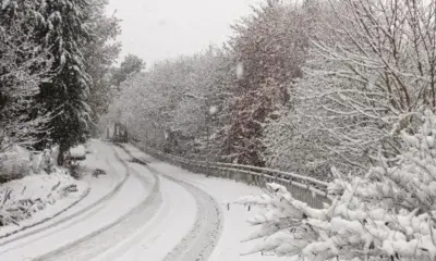
Snow fell steadily across the UK on Thursday. Northern Scotland saw some of the heaviest totals, with Altnaharra and Loch Glascarnoch both reporting nine centimetres of snow by late morning. In many places, roads were made treacherous by compacted snow and ice, and local councils urged people to avoid unnecessary travel.
Yellow snow and ice warnings currently in effect cover Carmarthenshire, Ceredigion, Pembrokeshire and Swansea until late evening, as well as north east England, south west Scotland, Yorkshire and Humber. Central and northern Scotland also remain under warning until later tonight. In these regions, even low lying areas are expected to receive two to five centimetres of snow, with the Highlands potentially seeing up to twenty centimetres.
Additional yellow ice warnings will come into force Thursday evening. These include south west England, eastern and south east England, north east Scotland, north east England, south west Scotland, Yorkshire and Humber and western Wales. The risk of sudden ice formation is high, especially on untreated roads and pavements.
The amber warning for snow, the most serious alert currently active, remains in place for parts of north east England and Yorkshire and the Humber until 21:00 Thursday. The Met Office says travel delays, road closures and interruptions to rail services are likely. Strong winds may create brief blizzard like conditions, and forecasters say an isolated lightning strike cannot be ruled out.
The weather has already caused significant disruption. Around forty schools in North Yorkshire were closed on Thursday, with ten more shut in East Yorkshire. Local authorities warn that further closures and delays are possible as conditions worsen overnight.